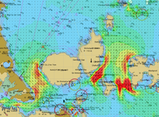
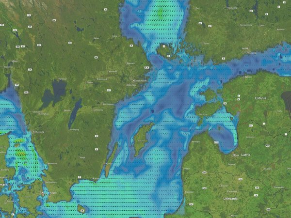
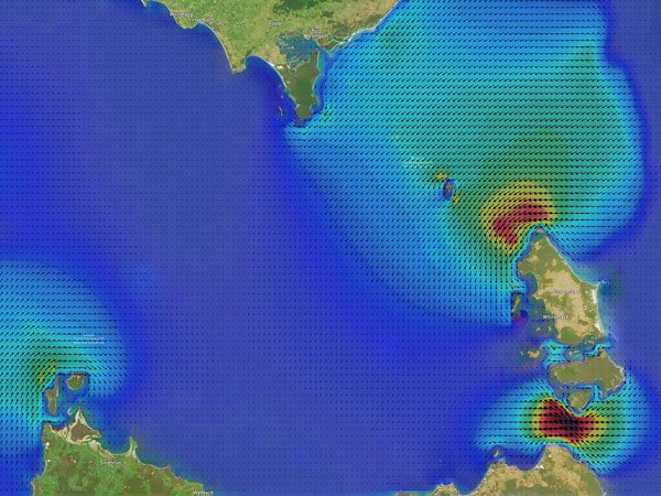
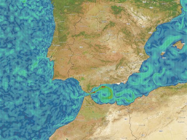
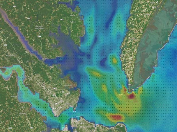
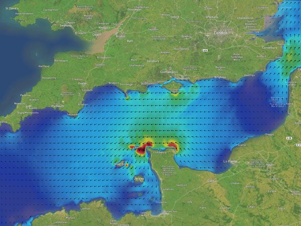
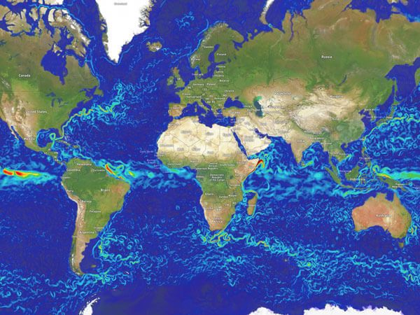
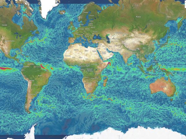
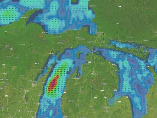
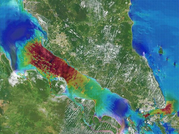
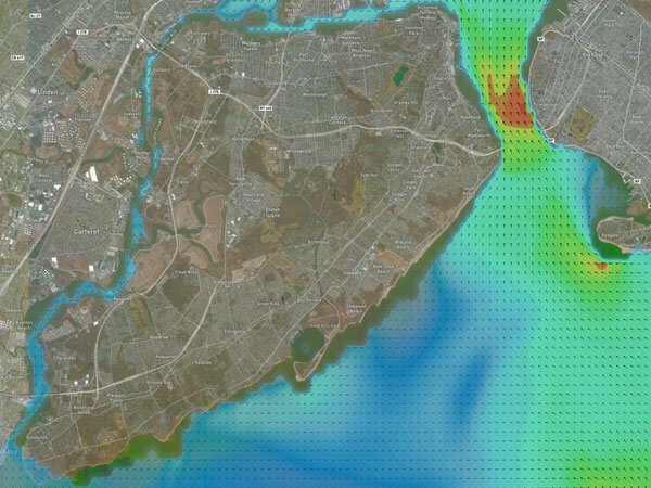
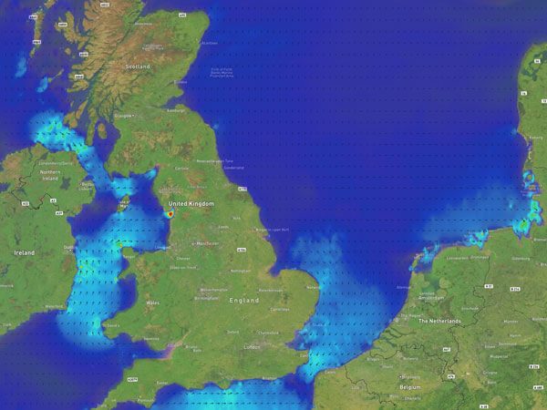
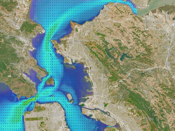
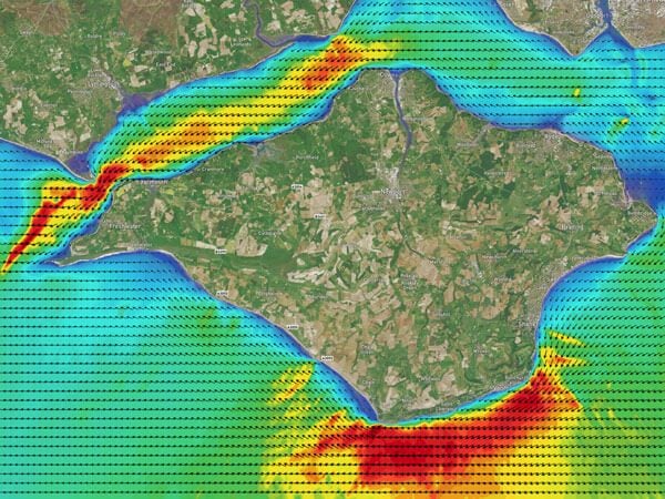
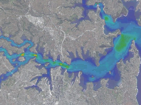
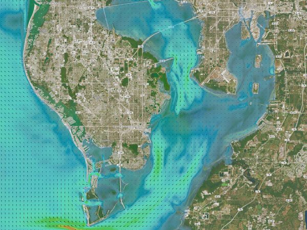
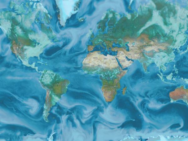
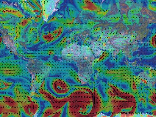
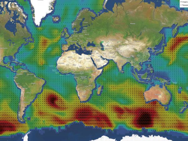
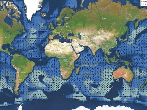
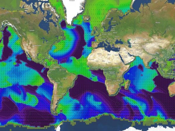
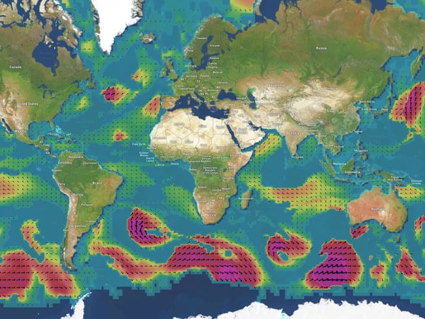
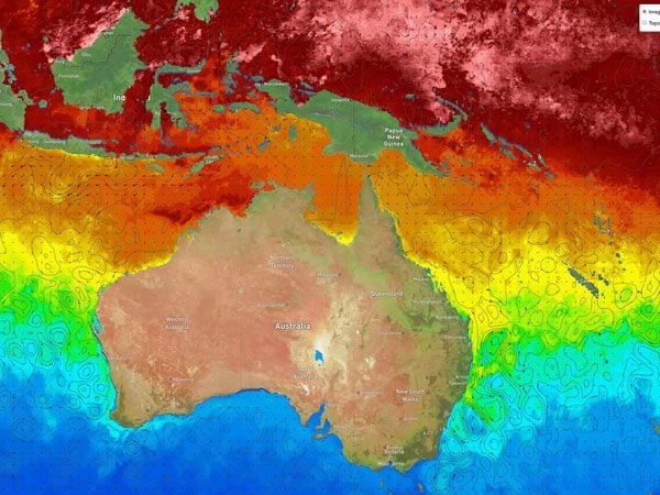
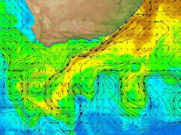
Currents
Currents
Currents
Currents
Currents
Currents
Currents
Currents
Currents
Currents
Currents
Currents
Currents
Currents
Currents
Currents
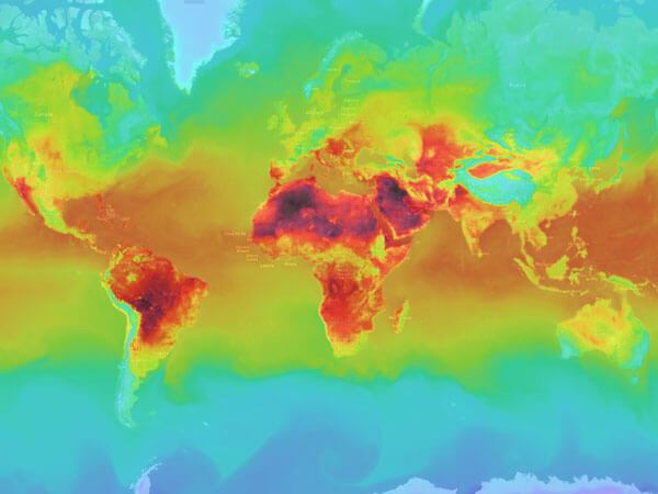
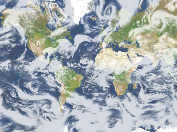
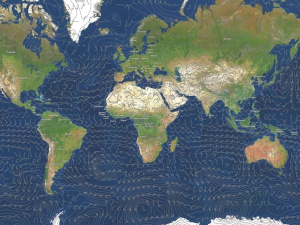
Meteorology
Meteorology
Meteorology
Meteorology
Meteorology
Meteorology
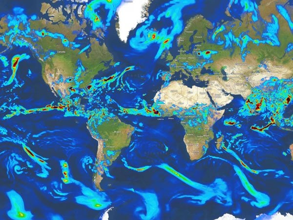
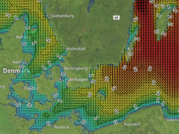
Waves
Waves
Waves
Waves
Waves
Observations
Observations
Ice