Are you entering the 2021 Vineyard Race?
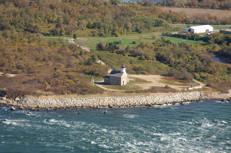
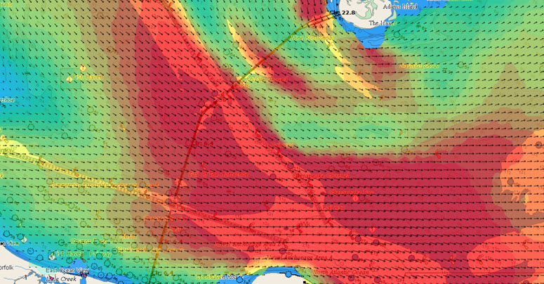
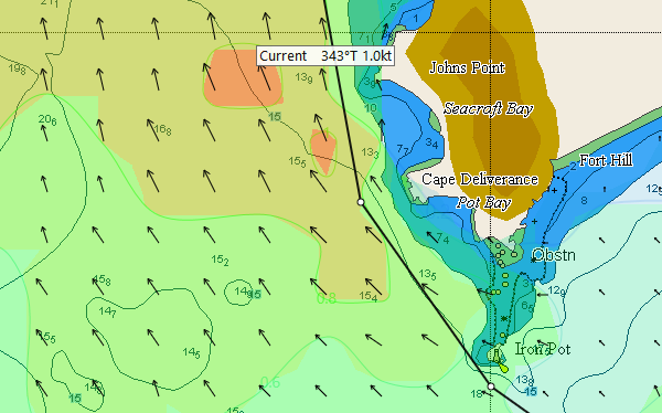
The complex strong tidal currents at the eastern end of Long Island Sound can be challenging for even the most experienced race navigators.
Key questions need to be considered. Will you depart Long Island Sound via The Race, Plum Gut, or The Sluiceway? What are your tactics for the return back into Long Island Sound on the way home? How you negotiate these complex and strong tidal currents could be the difference between a good race and a Great Race.
Fortunately, Tidetech has accurate high-resolution tidal current forecast models for the entire course available in GRIB format. This allows you to make the best navigation decisions giving you more time to simply sail fast and gain an advantage over your closest competitors.
Read More
Topics:
currents,
Expedition,
sailing,
yacht,
racing,
optimised route,
high resolution model,
grib,
yacht race,
Vineyard Race
We are very pleased to release a new model of Chesapeake Bay in time for the Annapolis to Newport Race! Sourced from NOAA the model covers the entire bay in incredible detail, showing for the first time the complexity of the currents everywhere in the Bay from Annapolis to Cape Charles, including the Potomac River.
Read More
Topics:
currents,
Expedition,
sailing,
yacht,
racing,
optimised route,
high resolution model,
grib,
yacht race,
Vineyard Race
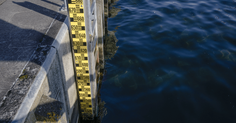
Traditionally, there has been little tidal information available to the public other than height predictions for major (standard) and minor (secondary) ports; even fewer tidal current predictions are available to Mariners other than a limited number of tidal diamonds and tidal stream atlases. These data have traditionally been published by official sources, such as Hydrographic Offices.
Although useful for indicating conditions at the start and end of a journey, this data on its own doesn't provide the level of detail that mariners need for their chosen waterborne activity. In this article, we cover the traditional methods for tidal measurement and their shortcomings and modern technological advancements that can revolutionise the maritime industry in terms of tidal information.
Read More
Topics:
tides,
tidal model,
high resolution model,
tide-surge forecast
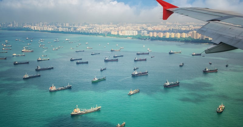
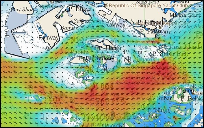
At 16km wide, and stretching 105km long between the Strait of Malacca and the Karimata Strait, the Singapore Strait is a crucial gateway between Asia and Europe. Due to the high number of ships transiting the area, the Singapore Strait can become incredibly congested and requires a tight traffic management system to ensure that vessels are coming into port at the right time, every time.
Read More
Topics:
currents,
tides,
speed optimisation,
route optimisation,
high resolution model,
Malacca Singapore Straits,
ship efficiency
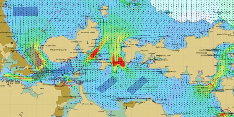
Like many sailing fans, we can't wait for the action to begin in the 36th Americas Cup in Auckland. Wind speed and direction, as you'd expect, will be the main factor that determines sail and foil choices, and of course, tactics on the course. What about tidal currents? With the speeds that these boats go, you'd be forgiven for thinking that current will be irrelevant.That's not the case though. Here's why:
Read More
Topics:
America's Cup,
high resolution model,
yacht racing
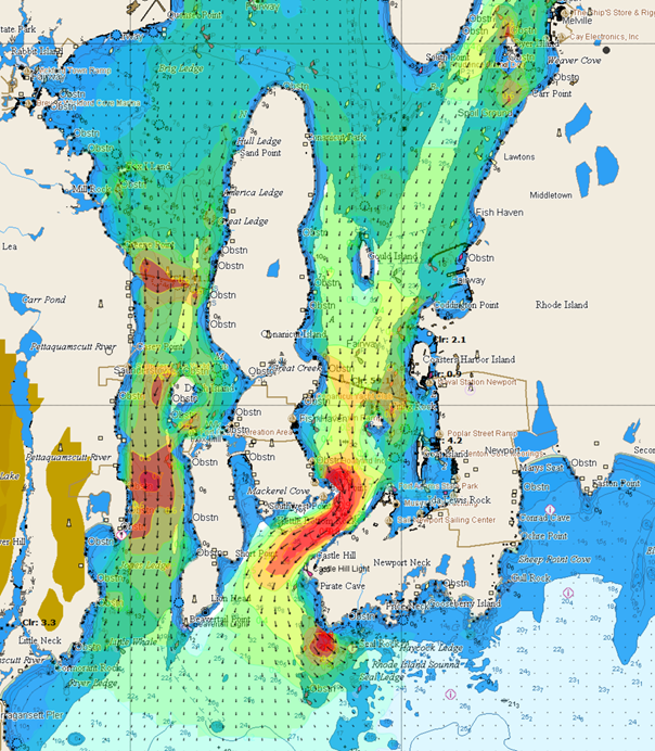
Due to high demand we have released a limited edition high resolution tidal model for Narragansett bay and Rhode island Sound in time for the Rolex New York Yacht Club Race Week. The region covered includes all racing areas in the Bay and to the South at 110 m resolution at 60 minute intervals.
Data is available as GRIBs or PDF images like the ones below, for the North and South race areas.
Read More
Topics:
sailing,
yacht,
tidal model,
high resolution model,
yacht race,
NYYC,
Narragansett Bay
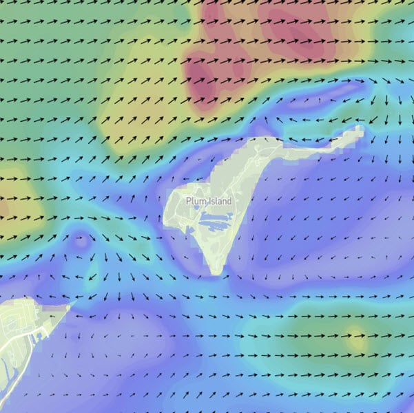
We are very excited to release our new model of Long Island Sound. With a resolution of 110m the model covers whole Sound in incredible detail, showing for the first time how the tidal currents flow around key locations across the region.
Read More
Topics:
currents,
Expedition,
sailing,
yacht,
racing,
optimised route,
high resolution model,
grib,
yacht race,
Vineyard Race
How tricky currents play a part in the closing stages of the Rolex Sydney to Hobart Race
The last few miles of a Sydney to Hobart race has often determined the ultimate winner. Capricious, shifty wind and 'bullets' - gusts that come screaming down the steep hillsides lining the course are often to blame. Not to mention the notorious night time 'shut-down' - where the wind disappears entirely.
The role of currents here has been overlooked - most likely because little information has been publicly available. This is set to change thanks to a new hydrodynamic model produced by the Coastal Environmental Modelling Team at CSIRO which Tidetech will be making available for the Sydney, Melbourne and Launceston to Hobart races this year as part of a package of Grib files and analyses.
Read More
Topics:
Sydney to Hobart,
yacht,
tidal model,
high resolution model,
grib,
yacht race,
Sydney to Hobart finish
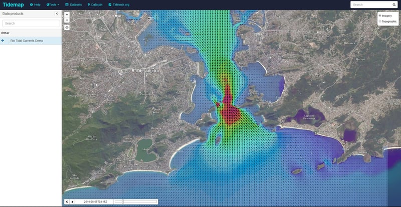
Tidetech Commercial Marine is extending free access to ‘Tidemap’, its new browser-based metocean data viewer, for the duration of the Rio Olympics. Tidetech has provided the high resolution tidal model to a number of the Olympic sailing teams for their training programs and for tactical planning.
Read More
Topics:
tidal model,
Olympics,
high resolution model,
Rio,
Guanabara Bay,
Tidemap
It’s been three years since we released the Singapore and Malacca Straits 800m high resolution tidal model. This model benefits vessels using route and speed optimisation systems in this busy stretch of water by taking advantage of accurate tidal speed, direction and height data to create bunkerage savings..
Read More
Topics:
currents,
tidal model,
high resolution model,
Malacca Singapore Straits,
tide-surge forecast


