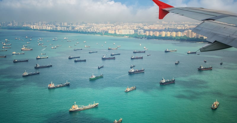
At 16km wide, and stretching 105km long between the Strait of Malacca and the Karimata Strait, the Singapore Strait is a crucial gateway between Asia and Europe. Due to the high number of ships transiting the area, the Singapore Strait can become incredibly congested and requires a tight traffic management system to ensure that vessels are coming into port at the right time, every time.
The Currents in Singapore Strait are Extremely Complex. Here's Why.
Posted by
Penny Haire on 25 January 2021 2:49:35 PM
Topics: currents, tides, speed optimisation, route optimisation, high resolution model, Malacca Singapore Straits, ship efficiency
How Hindcast Weather and Ocean Data Can Optimise Vessel Performance
Posted by
Penny Haire on 23 October 2020 3:41:52 PM
Topics: sailing, yacht, efficiency, speed optimisation, optimised route
New tidal optimisation reveals significant bunker savings
Posted by
Penny Haire on 3 May 2012 12:02:00 PM
Applied oceanography specialist Tidetech has introduced tidal optimisation as a critical tool for improving efficiency on coastal shipping routes.
Topics: currents, efficiency, tides, English Channel, speed optimisation, route optimisation, ferry, scheduling


